


excellent product, worked out of the box in my mini pc. super fast shipping by thinkrobotics .
It was good package overall, and in good working condition.
product verstiale helper for engnieers
RaspRover Open-source 4WD AI Robot for Raspberry Pi

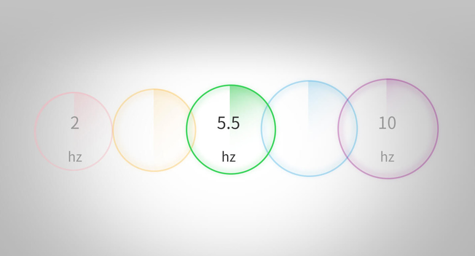
RPLIDAR A1 can perform a 360-degree scan within a 12-meter range. The produced 2D point cloud data can be used in mapping, localization, and object/environment modeling. The scanning frequency of RPLIDAR A1 reached 5.5hz when sampling 1450 points each round. And it can be configured up to 10hz① maximum. RPLIDAR A1 is basically a laser triangulation measurement system. It can work excellently in all kinds of indoor environments and outdoor environments without direct sunlight exposure.
RPLIDAR A1 contains a range scanner system and a motor system. After power on each sub-system, RPLIDAR A1 starts rotating and scanning clockwise. Users can get range scan data through the communication interface (Serial port/USB).
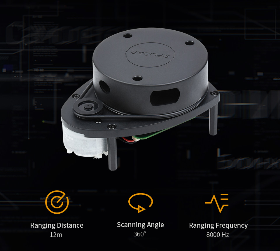
| RANGING DISTANCE | 0.15 ~ 12.00 m |
|---|---|
| RANGING ACCURACY | 1% of actual distance (≤3 m) 2% of actual distance (3~5 m) 2.5% of actual distance (5~12 m) |
| SCANNING FREQUENCY | 5.5 Hz |
| SCANNING ANGLE | 360° |
| RANGING FREQUENCY | 8000 Hz |
| RESOLUTION | ≤ 1% of actual distance (≤12 m) ≤ 2% of actual distance (within 12~16 m) |
| WAVELENGTH | 785 nm |
| COMMUNICATION INTERFACE | UART |
| POWER SUPPLY | 5 V |
| POWER CONSUMPTION | 0.5 W |
| OPERATING CURRENT | 100 mA |
| WEIGHT | 248 g |
| OPERATING TEMPERATURE | 0°C ~ 40°C |
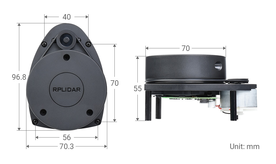
| DIMENSIONS (L × W × H) |
96.8 × 70.3 × 55.0mm |
With High-Speed Visual Acquisition And Processing
Measures Distance Data In More Than 8000 Times Per Second
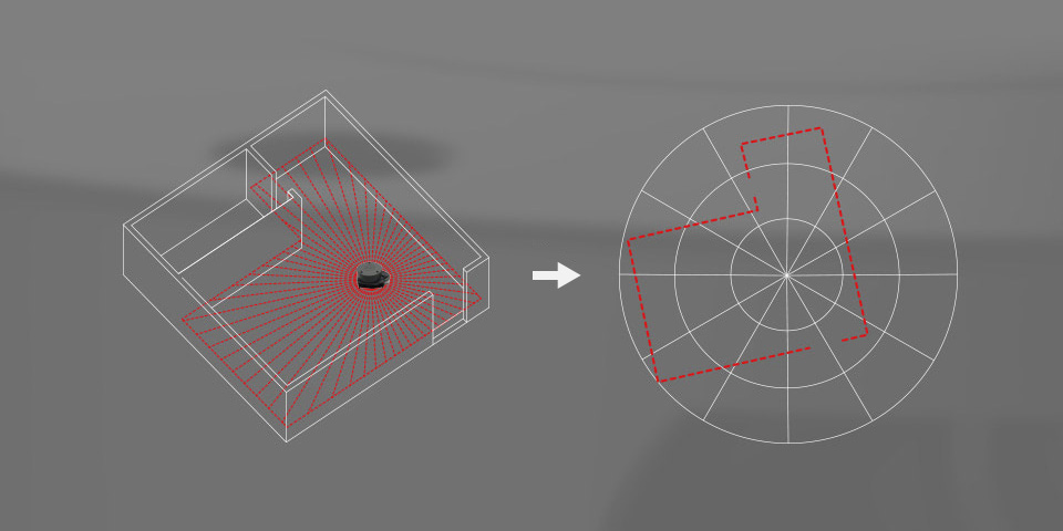
Rotates Clockwise In The Ranging Core To Achieve 360-Degree Scanning And Ranging Of The Surrounding Environment, Thus Obtaining The Contour Map Of The Surrounding Environment
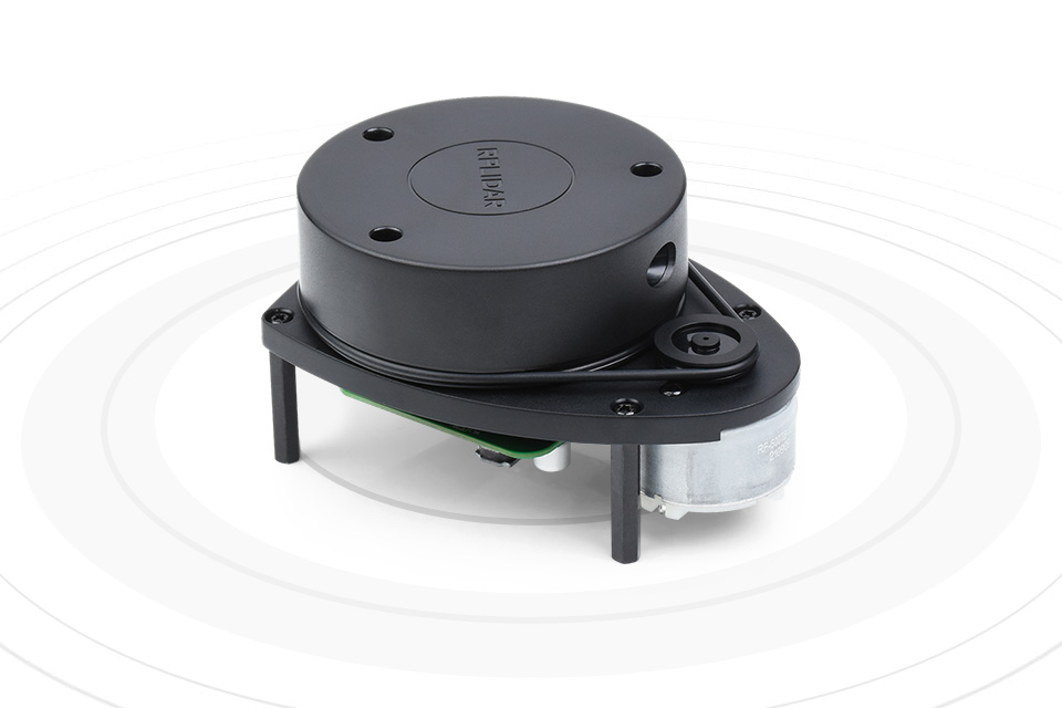
Improves the internal optical design and algorithm system to make the sample rate up to 8000times/s, which can enable your robots to map faster and more accurately
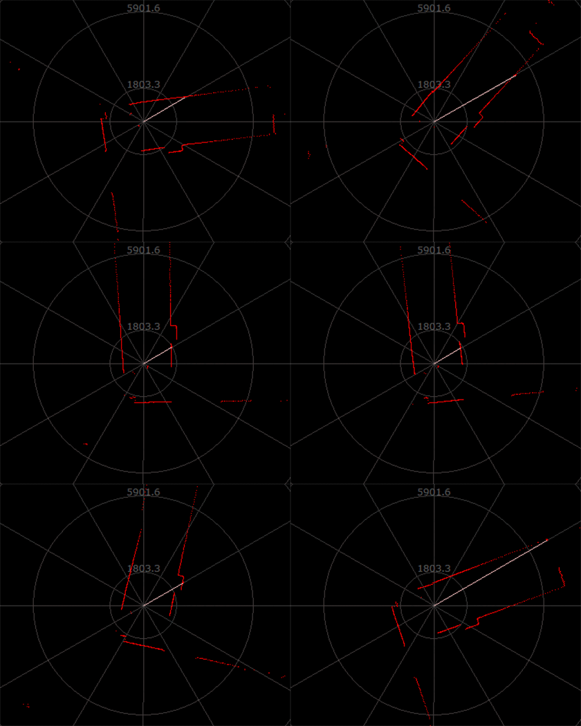
10Hz 8000 Points |
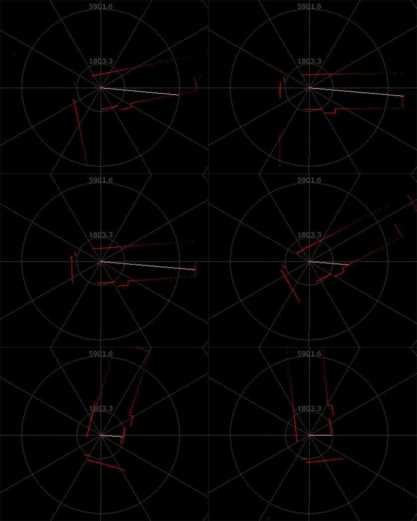
10Hz 4000 Points |
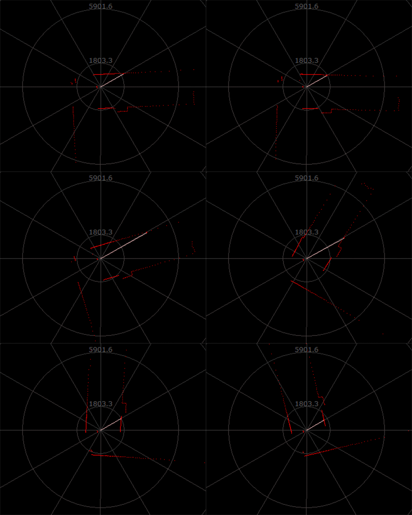
5Hz 2000 Points |
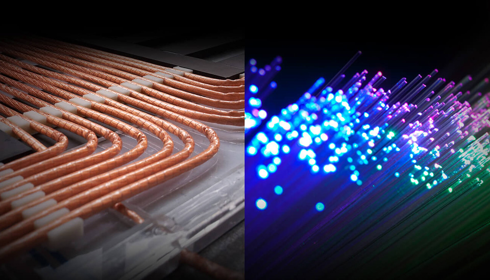
Most traditional non-solid LIDARs use slip ring to transfer power and data information, however, they only have thousands of hours lifetime due to mechanical wear and tear. RPLIDAR A1 has integrated the wireless power and optical communication technology to self-design the OPTMAG technology, which breakouts the life limitation of traditional LIDAR system. It fixes the electrical connection failure caused by the physical wearing out so as to prolong the life-span.
Users Can Adjust The Scan Rate By Motor PWM Signal
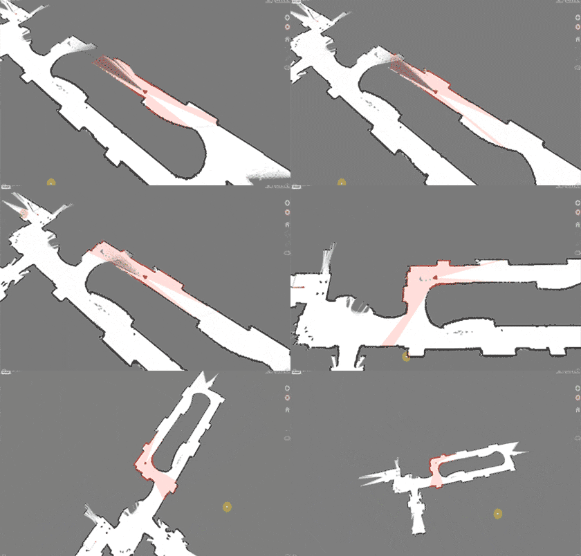
Robot Simultaneous Localization And Mapping (SLAM) |
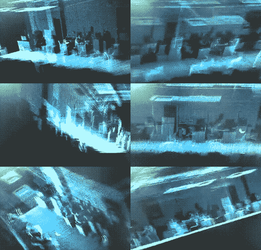
Environment Scanning and 3D Reconstruction |
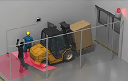
Obstacle Detection and Avoidance |
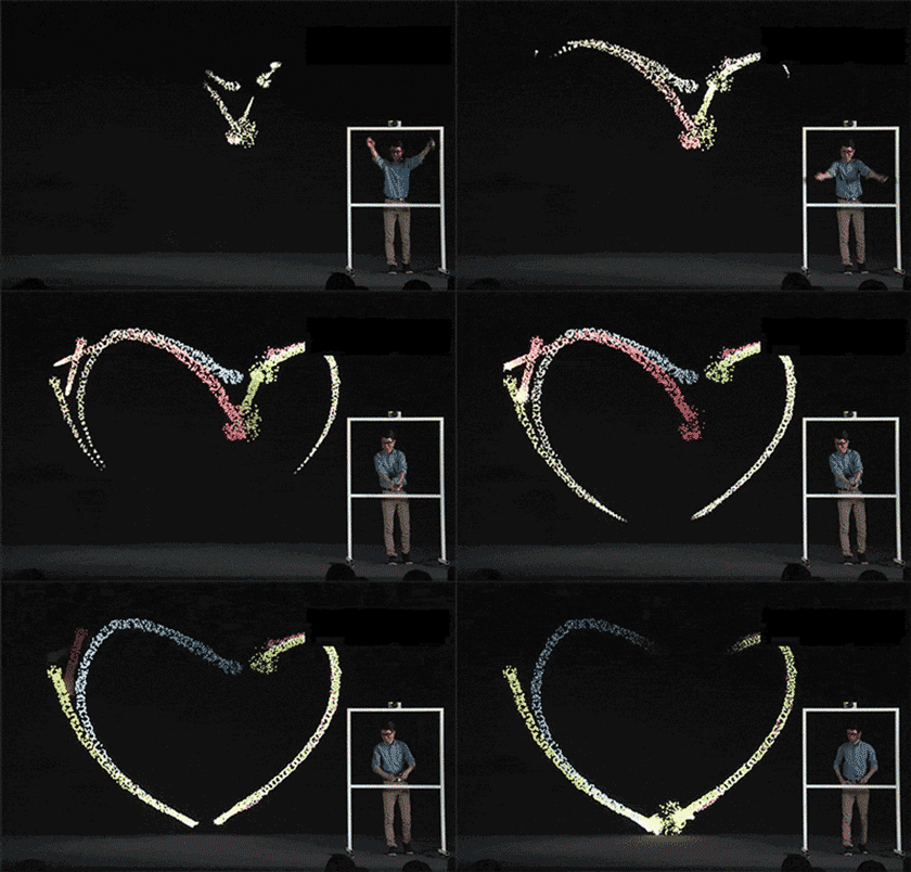
Multi-touch and Human Computer Interaction |
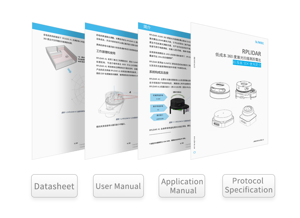
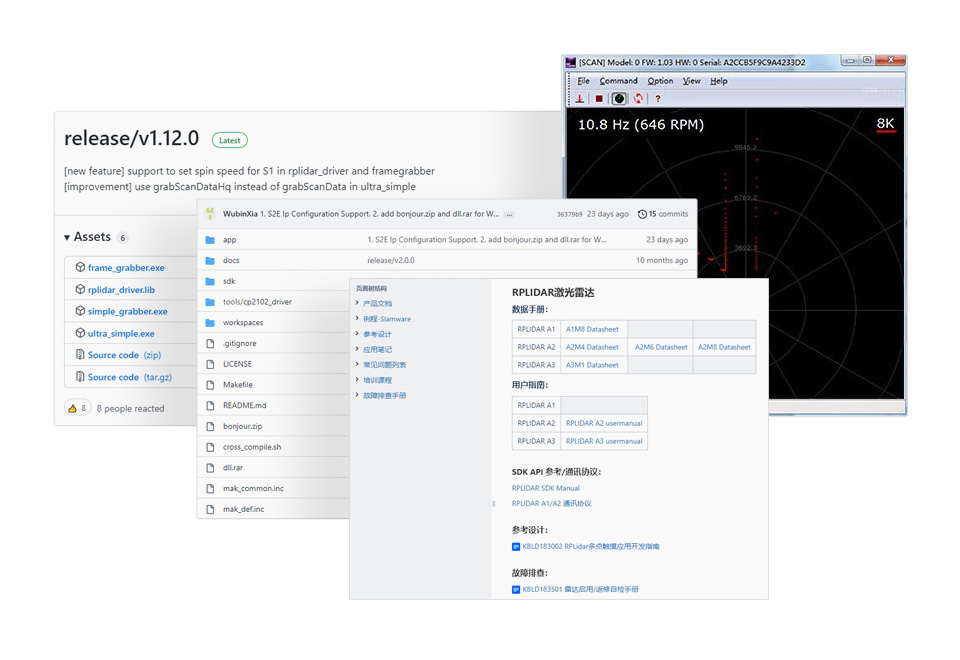
Datasheet, User Manual, Application Manual, Protocol Specification
No reviews yet. Be the first to share your experience!
For more discussion Click Here


Fill out the form below and our team will get back to you with bulk pricing.
RPLIDAR A1 can perform a 360-degree scan within a 12-meter range. The produced 2D point cloud data can be used in mapping, localization, and object/environment modeling. The scanning frequency of RPLIDAR A1 reached 5.5hz when sampling 1450 points each round. And it can be configured up to 10hz① maximum. RPLIDAR A1 is basically a laser triangulation measurement system. It can work excellently in all kinds of indoor environments and outdoor environments without direct sunlight exposure.
RPLIDAR A1 contains a range scanner system and a motor system. After power on each sub-system, RPLIDAR A1 starts rotating and scanning clockwise. Users can get range scan data through the communication interface (Serial port/USB).
| RANGING DISTANCE | 0.15 ~ 12.00 m |
|---|---|
| RANGING ACCURACY | 1% of actual distance (≤3 m) 2% of actual distance (3~5 m) 2.5% of actual distance (5~12 m) |
| SCANNING FREQUENCY | 5.5 Hz |
| SCANNING ANGLE | 360° |
| RANGING FREQUENCY | 8000 Hz |
| RESOLUTION | ≤ 1% of actual distance (≤12 m) ≤ 2% of actual distance (within 12~16 m) |
| WAVELENGTH | 785 nm |
| COMMUNICATION INTERFACE | UART |
| POWER SUPPLY | 5 V |
| POWER CONSUMPTION | 0.5 W |
| OPERATING CURRENT | 100 mA |
| WEIGHT | 248 g |
| OPERATING TEMPERATURE | 0°C ~ 40°C |
| DIMENSIONS (L × W × H) |
96.8 × 70.3 × 55.0mm |
With High-Speed Visual Acquisition And Processing
Measures Distance Data In More Than 8000 Times Per Second
Rotates Clockwise In The Ranging Core To Achieve 360-Degree Scanning And Ranging Of The Surrounding Environment, Thus Obtaining The Contour Map Of The Surrounding Environment
Improves the internal optical design and algorithm system to make the sample rate up to 8000times/s, which can enable your robots to map faster and more accurately
|
10Hz 8000 Points |
10Hz 4000 Points |
5Hz 2000 Points |
Most traditional non-solid LIDARs use slip ring to transfer power and data information, however, they only have thousands of hours lifetime due to mechanical wear and tear. RPLIDAR A1 has integrated the wireless power and optical communication technology to self-design the OPTMAG technology, which breakouts the life limitation of traditional LIDAR system. It fixes the electrical connection failure caused by the physical wearing out so as to prolong the life-span.
Users Can Adjust The Scan Rate By Motor PWM Signal
|
Robot Simultaneous Localization And Mapping (SLAM) |
Environment Scanning and 3D Reconstruction |
Obstacle Detection and Avoidance |
Multi-touch and Human Computer Interaction |
Datasheet, User Manual, Application Manual, Protocol Specification
No reviews yet. Be the first to share your experience!
For more discussion Click Here
Fill out the form below and our team will get back to you with bulk pricing.
Custom Requirements?
Related products

